September 2nd, 2014
(Kangerlussuaq to Katiffik)
Distance Walked: 15 Miles
Arriving in Kangerlussuaq
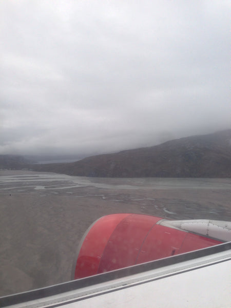
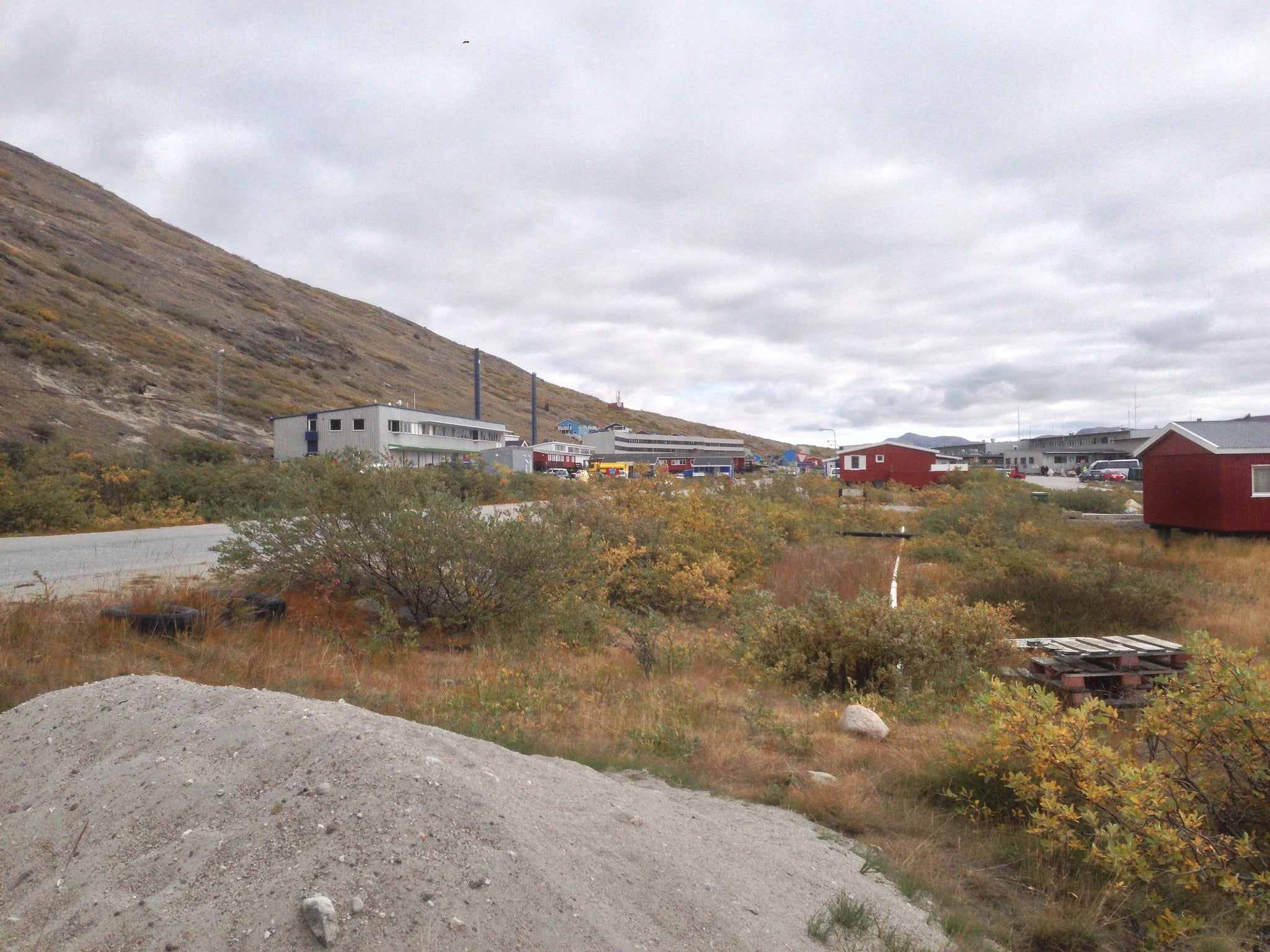
I flew into Kangerlussuaq on the daily flight from Copenhagen and rejoiced in the fact that I had finally arrived in Greenland and was now well north of the Arctic Circle. The airport is an old U.S. Air Force base that was given back to Greenland and Denmark following the end of the Cold War. After retrieving my backpack from the tiny luggage carousel my next destination was the grocery store on the airport grounds that was supposed to have fuel. I had tried to contact the store via email to confirm whether or not they had fuel, and what type of fuel, but never heard back from them so now I was taking a chance that they would have canister fuel for my MSR Reactor stove. For this trail I highly recommend either a pressure regulated canister stove (like the Reactor) or a liquid fuel stove (such as the MSR Whisperlite). Fortunately they did in fact have canister fuel in stock, though it was a much larger size than I needed and was a brand I had never heard of so I was unsure of how well their mixture of propane and butane would work in below freezing temps. With fuel in hand, I headed backto the terminal. After filling up on water and checking over my gear, I had a quick lunch at the cafeteria and then went to register at the local police station, as recommended in the guide book. Unfortunately no one answered the door, and since I was carrying a SPOT PLB (Personal Locator Beacon), I wasn't concerned enough to wait for their return, plus I had my biggest mileage day ahead of me (15 miles) and it was already afternoon.
Airport Grounds
The Arctic Circle Trail starts just past Kellyville (pop 7), which is basically a collection of trailers and a huge antenna pointed skyward. It's a research station where scientists study the Northern Lights and lies about 9.8 miles WSW of the airport. Some choose a road walk right from the airport but, living in Brooklyn, I've walked on enough roads and was more than happy to hire a taxi for the ride to starting point. If I remember correctly the fare was about 350 DKK ($58.34). Not exactly cheap but then again, nothing is cheap in Greenland. I asked my cab driver to take a few photos of me at the first trail marker. When she left I took a look around and realized that, not only was I now alone, I was alone in Greenland. I had crossed the Arctic Circle and was about to experience a part of the world few ever see, let alone trek through. It was amazing and I felt extremely fortunate to have the opportunity!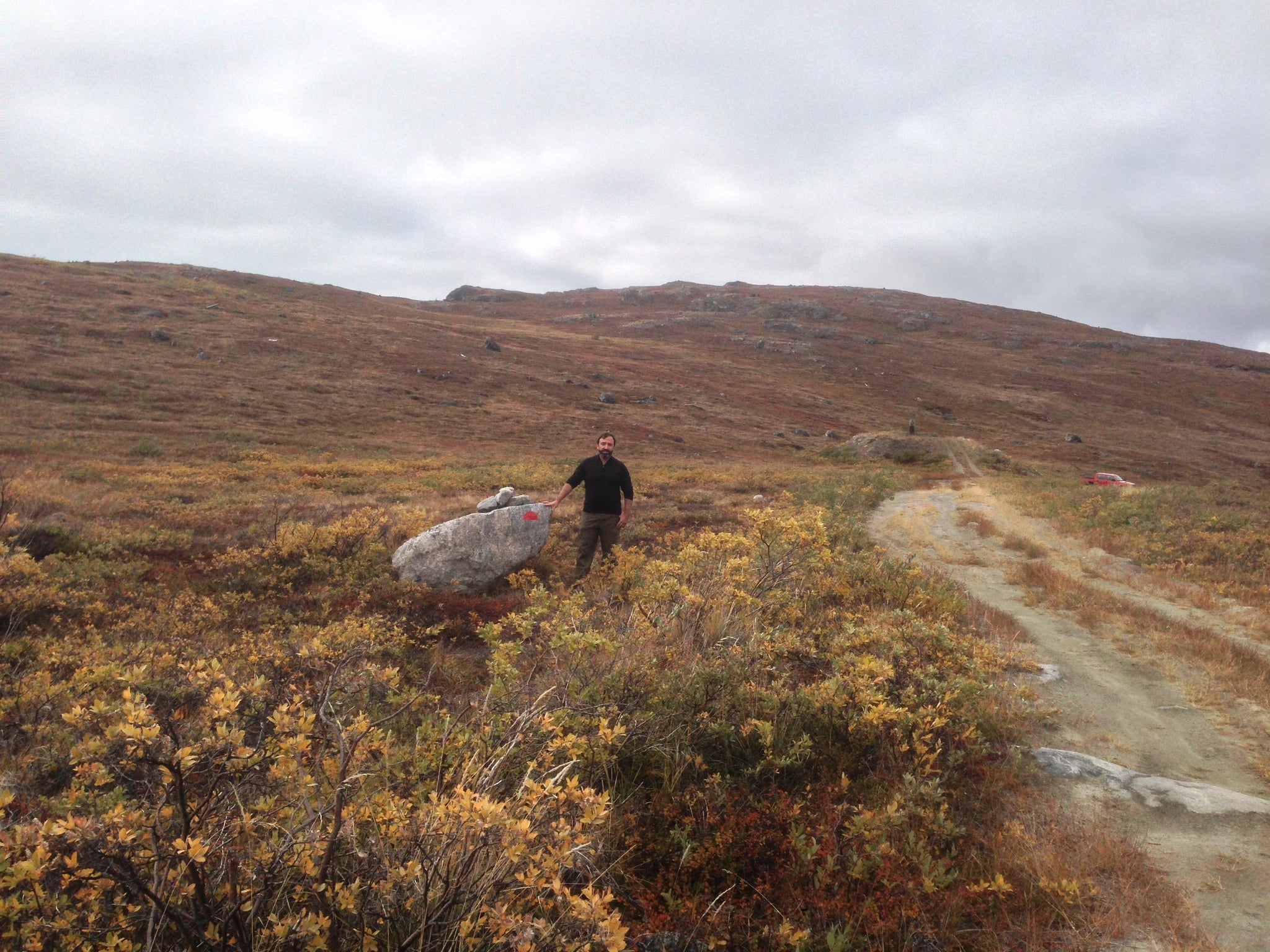
Beginning of the Arctic Circle Trail
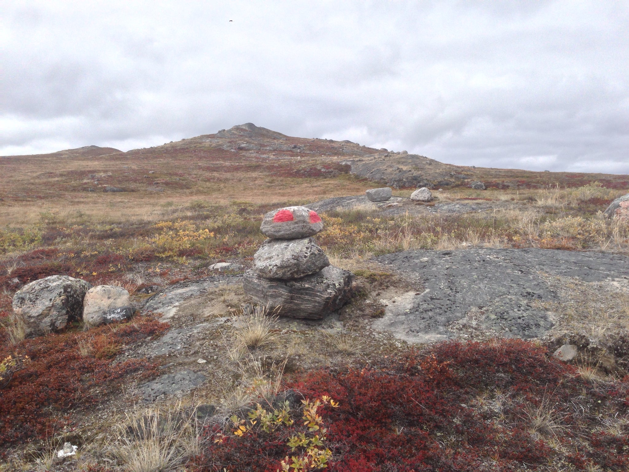
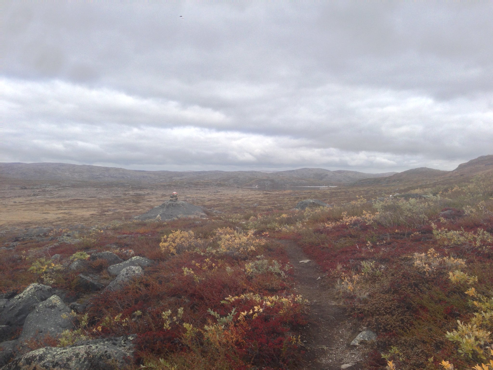
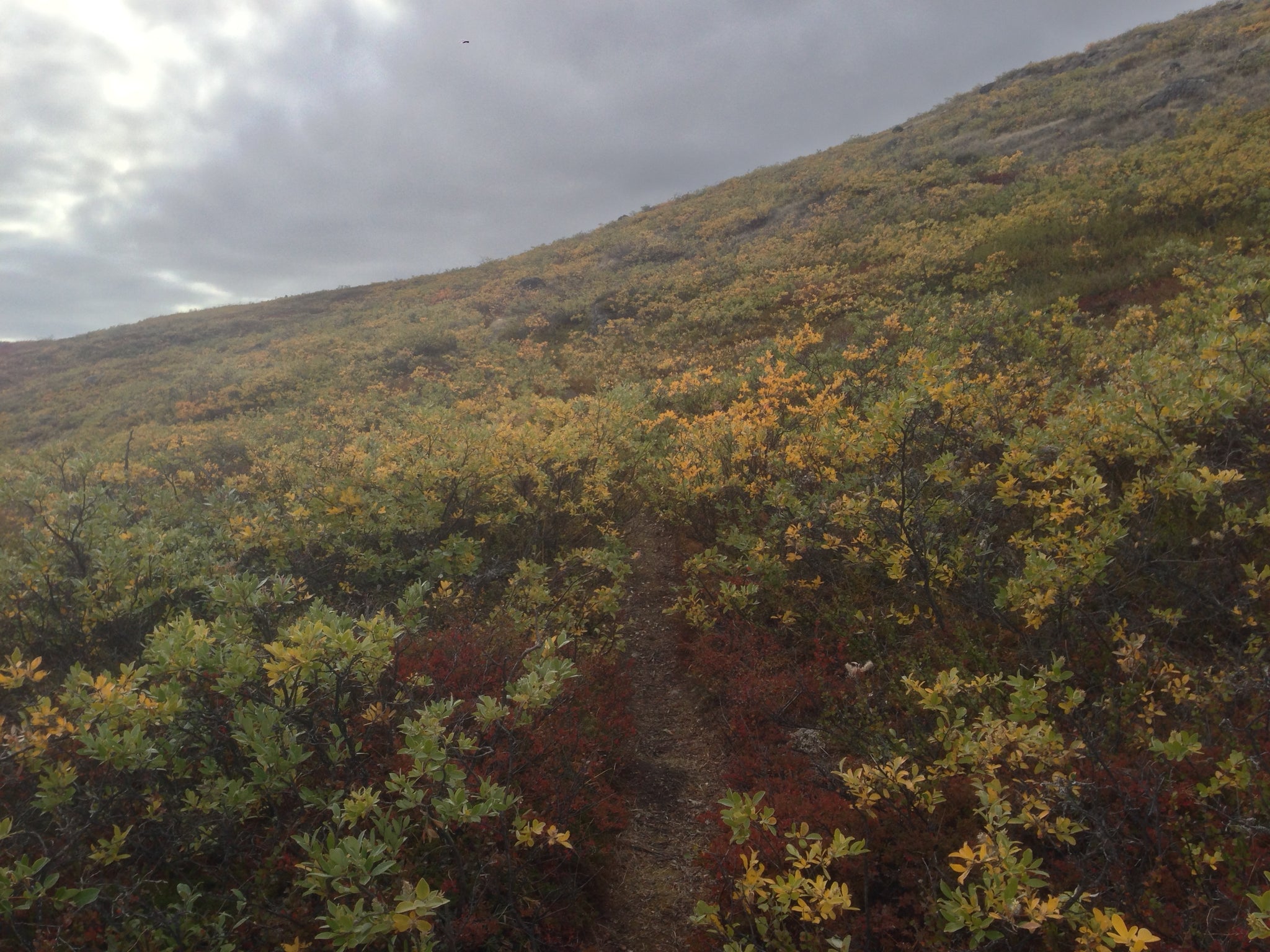
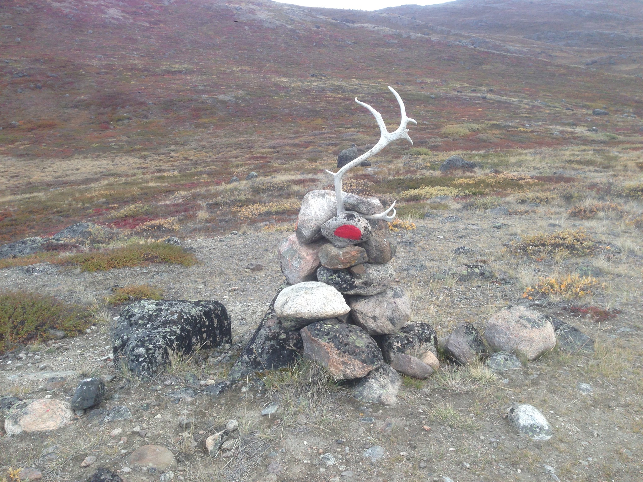
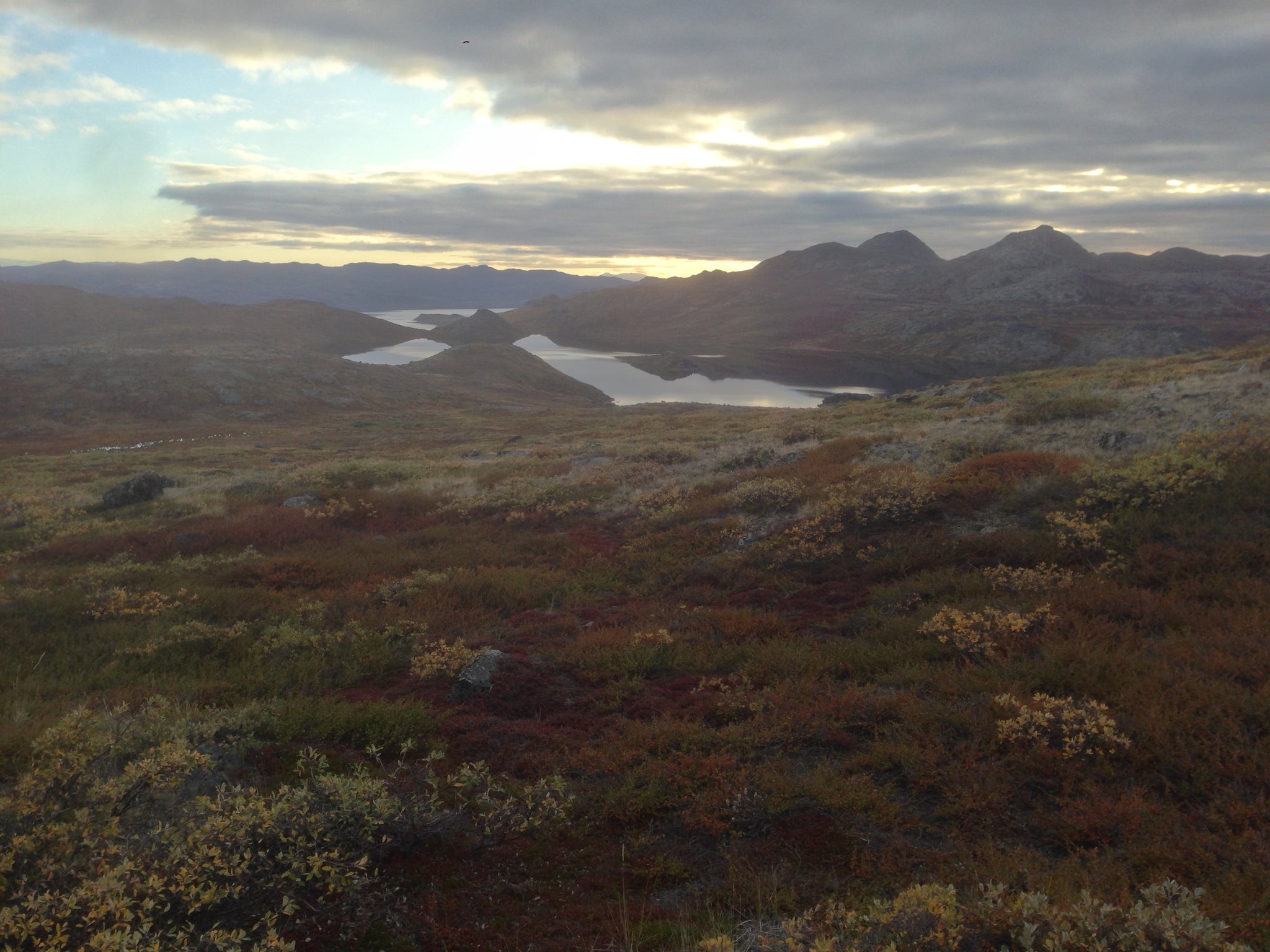
As you can see from the above photo, the trail is occasionally marked with rocks or cairns painted with the rising sun of the Greenlandic flag, though most of it is unmarked and when you do see a trail it is considered more of a "suggested route" than a set path. Setting off on the trail, I immediately encountered the boggy conditions I had expected to encounter when walking on tundra. Though not a huge deal with waterproof boots and gaiters, you do start to pine for some dry ground until you remember that you're in Greenland. The colors of Arctic Fall were everywhere, with dark yellow, green, and deep red being the predominant colors. 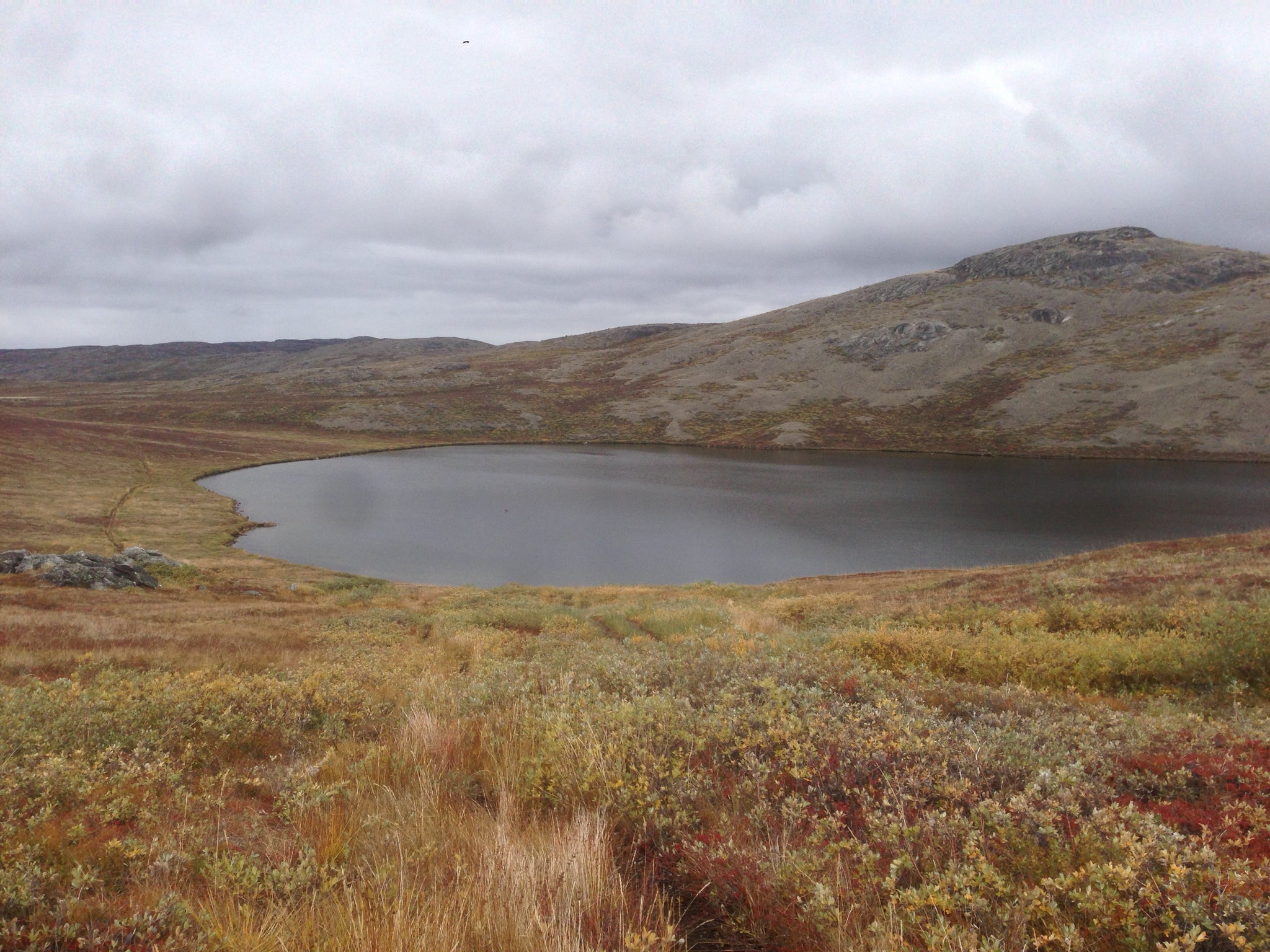
1st of Many Nameless Lakes
Favorite cairn of the day
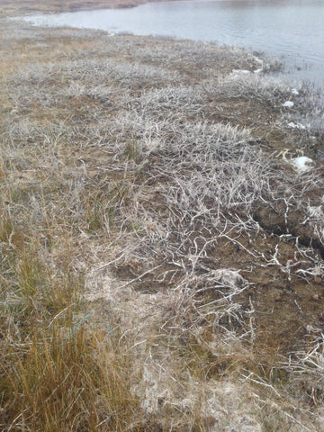
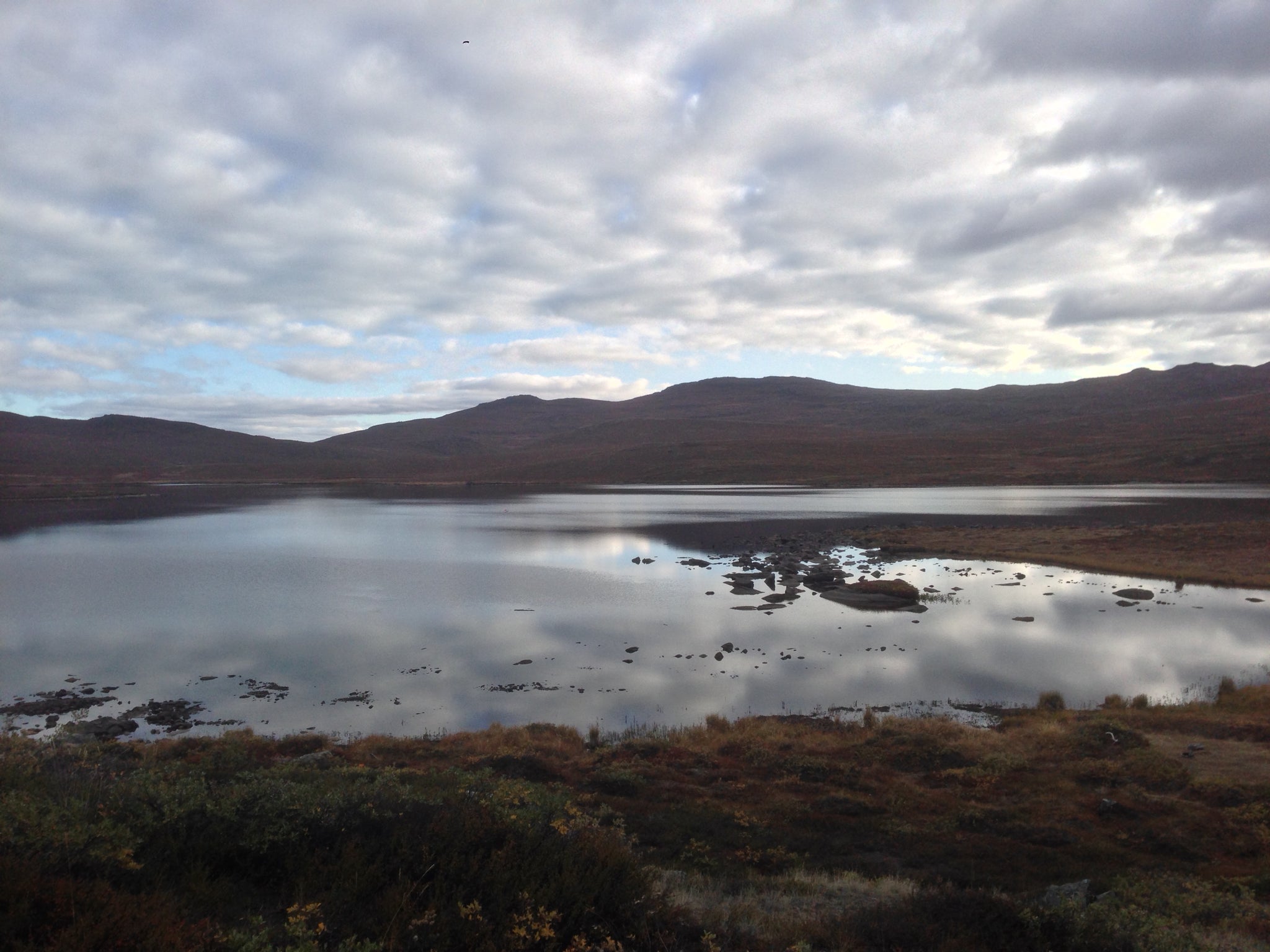
Finding water is never an issue on this trail as landscape is littered with lakes and streams fed by the winter snow melt. I had read that the first few lakes encountered should be avoided since they often have a brackish taste due to the proximity to the salt water of the nearby fjord. At many of the lakes you can even see dried up salt along the shore as evident in the picture to the right, which was taken at Lake Hundeso.
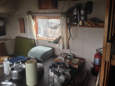
About 2 hours into the trip to the coast, I spotted my first Reindeer. I used my monocular to get a better look before he ran off. Truly a majestic sight, set against the Arctic wilderness. This was also near the first hut of the trek, Hundeso, which was the only one I'd be passing without spending the night. Hundeso looks like an abandoned set from a "Mad Max" movie but it actually quite cozy inside, though it's placement just 3 miles from the start means that it is only used by those choosing to add a road walk to the trail, and start walking from the airport terminal rather than taking a cab to the starting point.
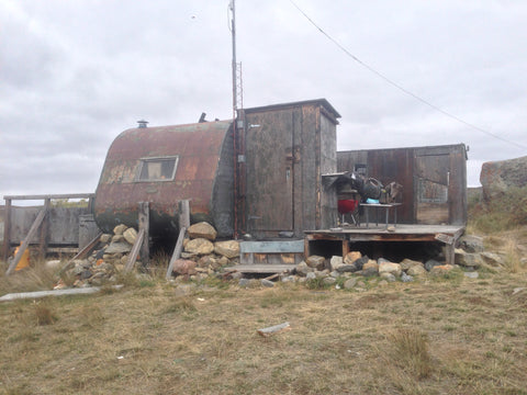
HUNDESO (Exterior) HUNDESO (Interior)
After a brief stop at Hundeso it was time to knock out some miles. Route finding was generally easy but there were times when I would emerge from a boggy area and the trail was nowhere to be seen. I found myself frequently referencing the map and the guide book to see where the trail should have been. My monocular also came in handy when searching for distant cairns.
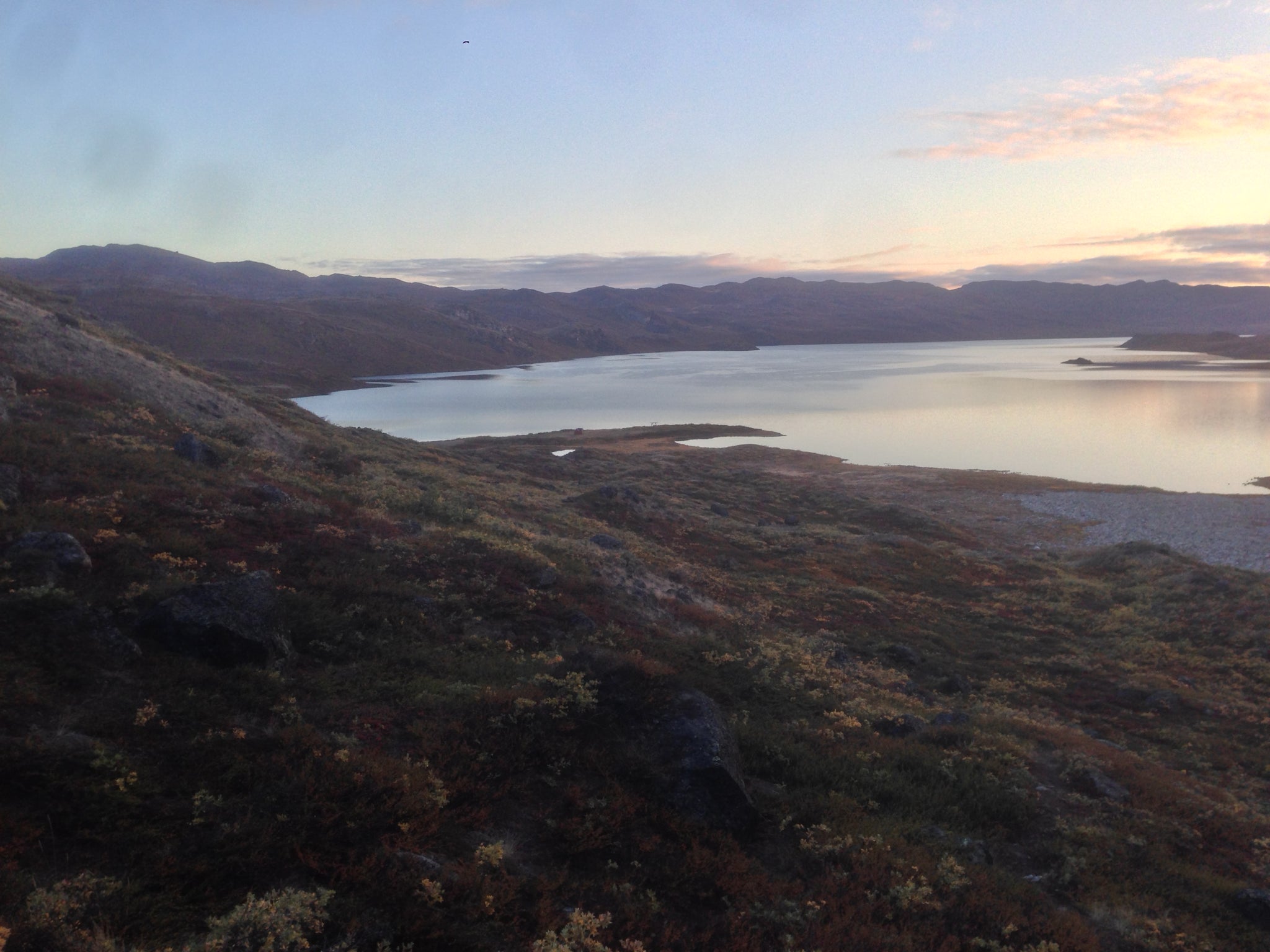
Katiffik Hut lies on what looks like a little peninsula at the center of the photo



Comments
0 comments